

GALERA · Routes
Archaeological Route
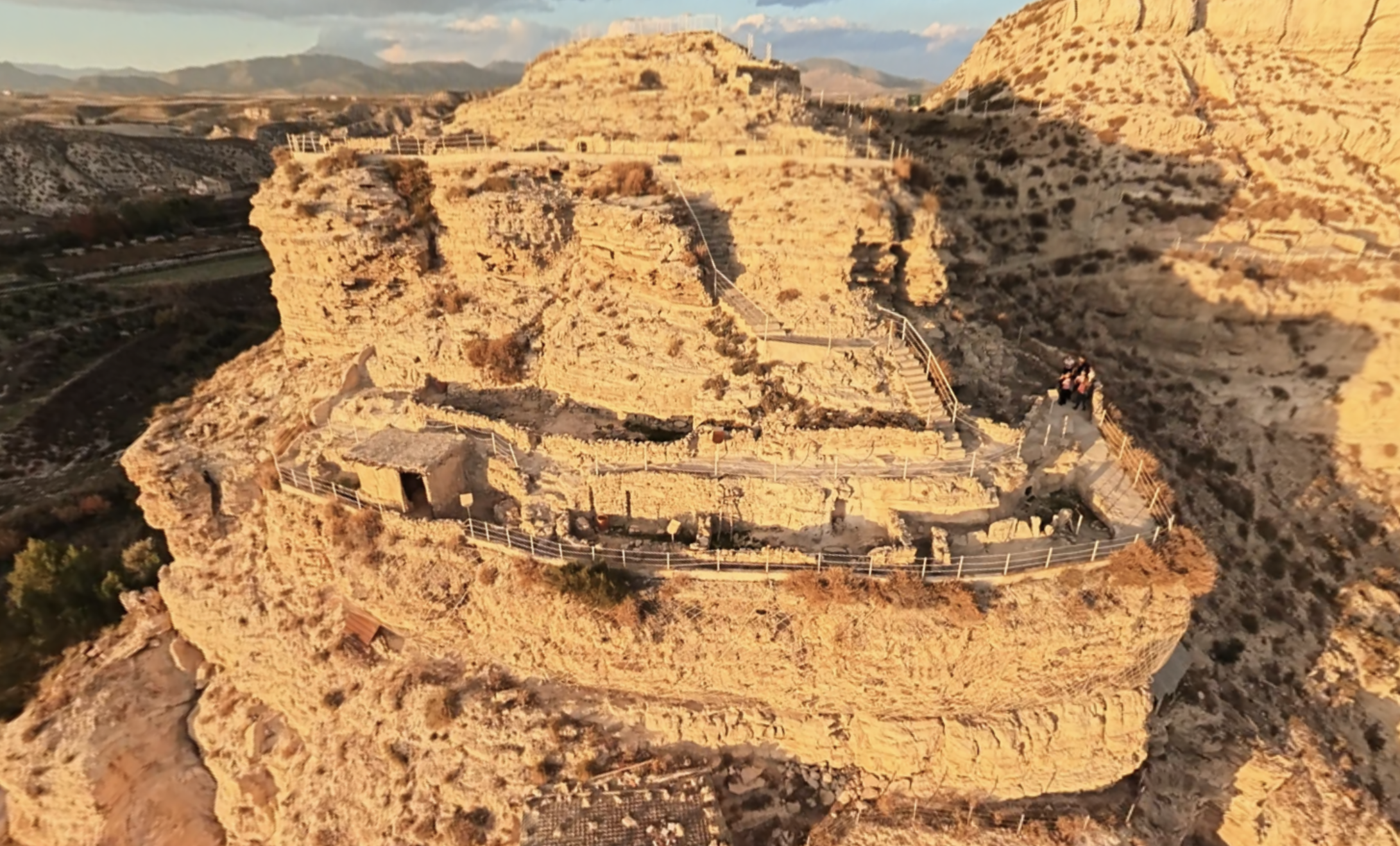
The museum brings together the artefacts and explanations that help visitors understand how these places are connected. At Castellón Alto, a guided visit offers an insight into a Bronze Age settlement, with terraced dwellings and burials beside domestic spaces. At Tútugi, we will discover a different funerary landscape, formed by burial mounds that covered chambers containing urns and offerings.
The route includes tombs 22, 21, 50 and 20, where an augmented reality experience will recreate the entry of sunlight. Galera’s archaeological wealth extends beyond these places. Cerro del Real, the former settlement of Tútugi, preserves a long succession of occupations, and other remains lie in its surroundings, including Final Bronze Age huts and the sanctuary of Cerro del Castillo.
We will learn about them through the app, without including them as accessible sites on this route. Start at the museum and let the objects accompany you later, in your imagination, as you explore the archaeological sites.
Useful information
- Distance
- To be defined
- Duration
- To be defined
- Difficulty
- To be defined
Route map
Route stops
-
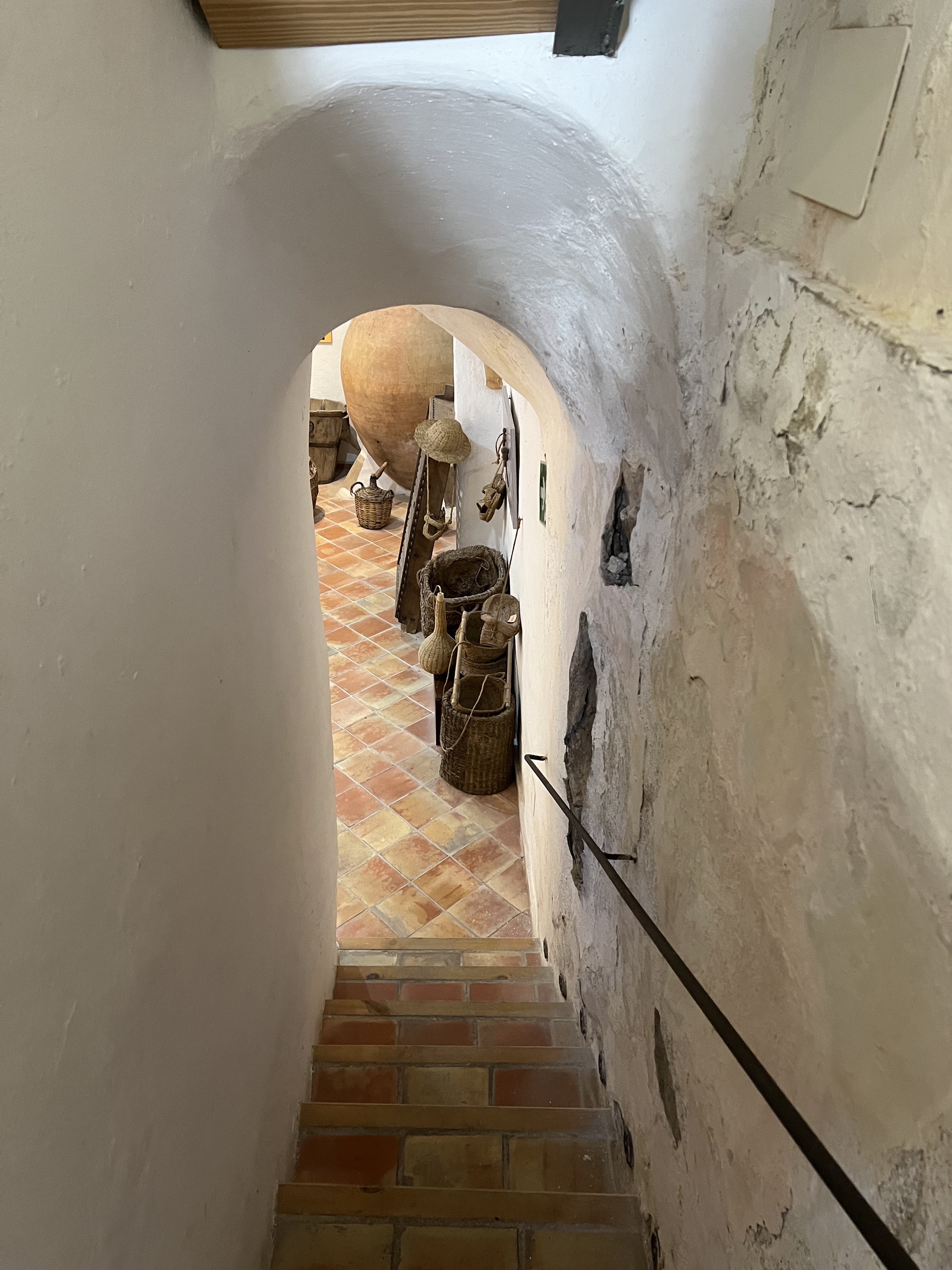
Galera Archaeological Museum
A vessel, a tool or an ornament can tell us how the people who lived in Galera before us went about their lives.View place → -
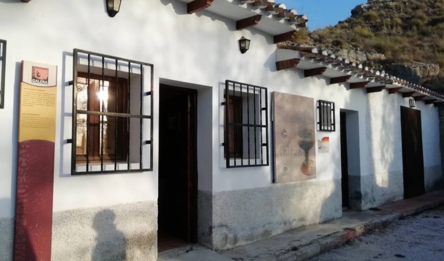
Castellón Alto Archaeological Site. Visitor Centre
Castellón Alto, a settlement of the El Argar culture, was built on this hill and flourished during the second millennium BC.View place → -
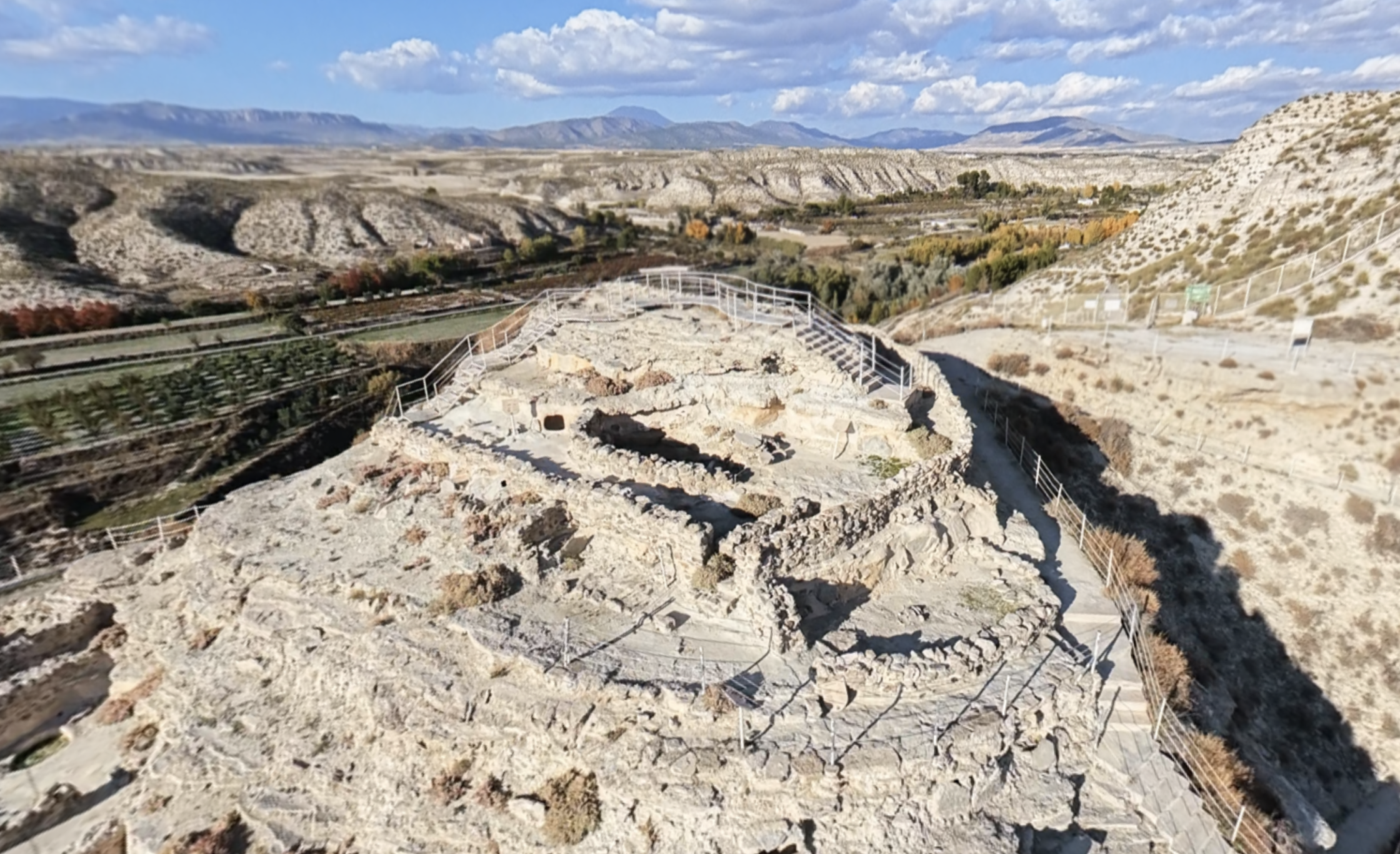
Acropolis
From the highest part of Castellón Alto, you can look out over the valley and its cultivated land.View place → -
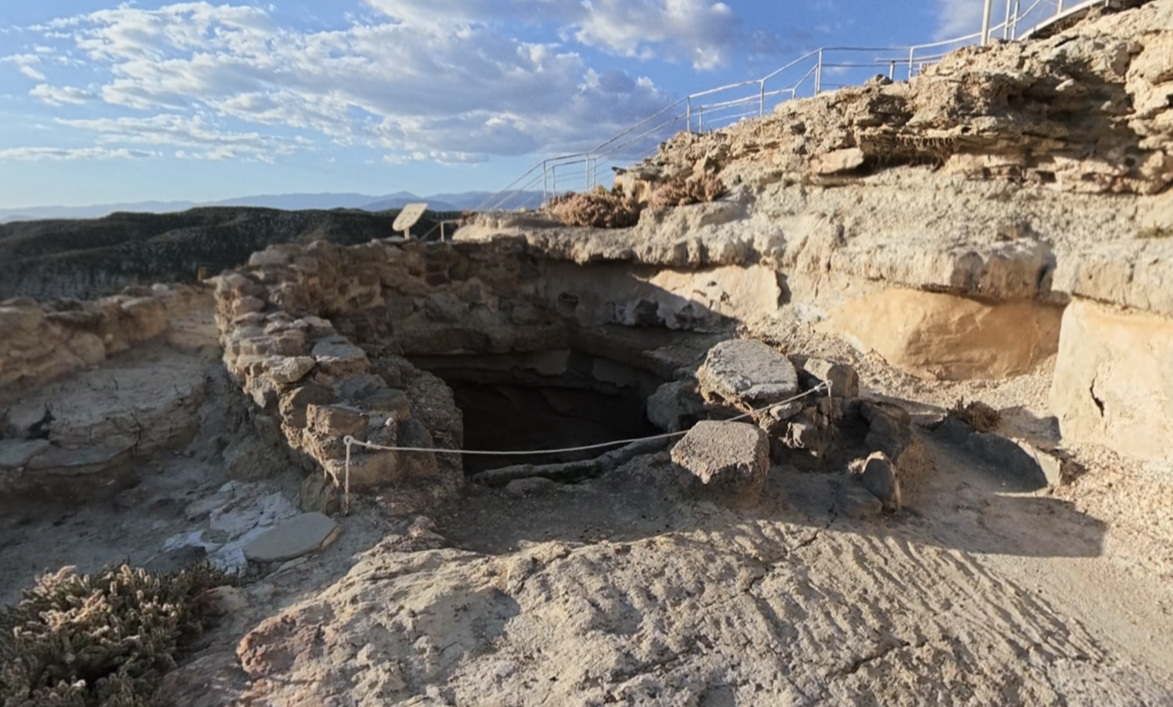
Cistern
In a settlement on elevated ground, storing water was an everyday necessity.View place → -
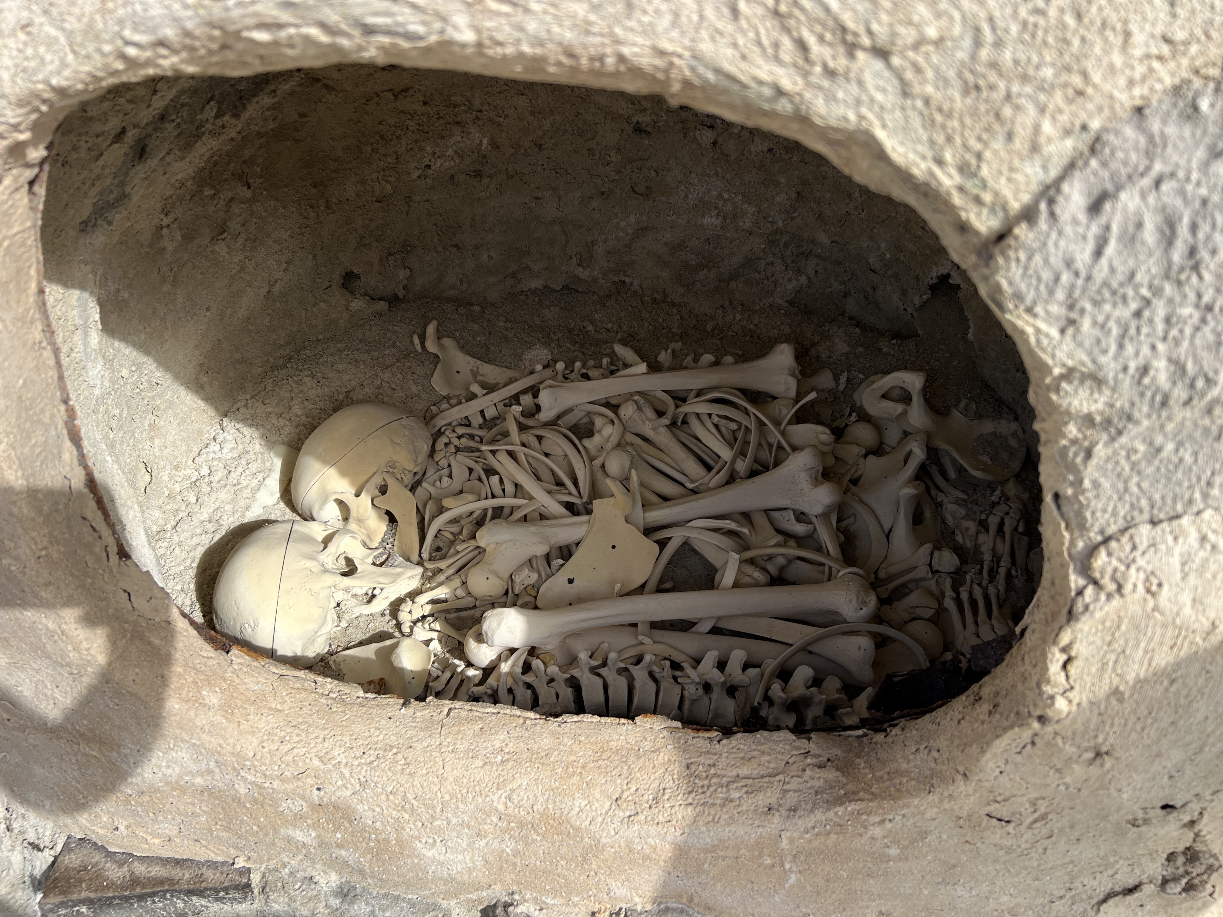
Tomb of the Lovers
The name “Tomb of the Lovers” immediately sparks the imagination.View place → -
Intermediate Terrace Street
You are standing on a street in the ancient settlement, between two levels of houses.View place → -
Large house with two rooms CE16
This large house had two rooms with distinct functions.View place → -
Houses in the Lower Row of the Intermediate Terrace
This row of houses repeats a design adapted to the slope: the houses lean against the hillside’s rear wall and arrange their spaces towards the terrace.View place → -
Large dwelling with three rooms
This large dwelling was arranged into three rooms.View place → -
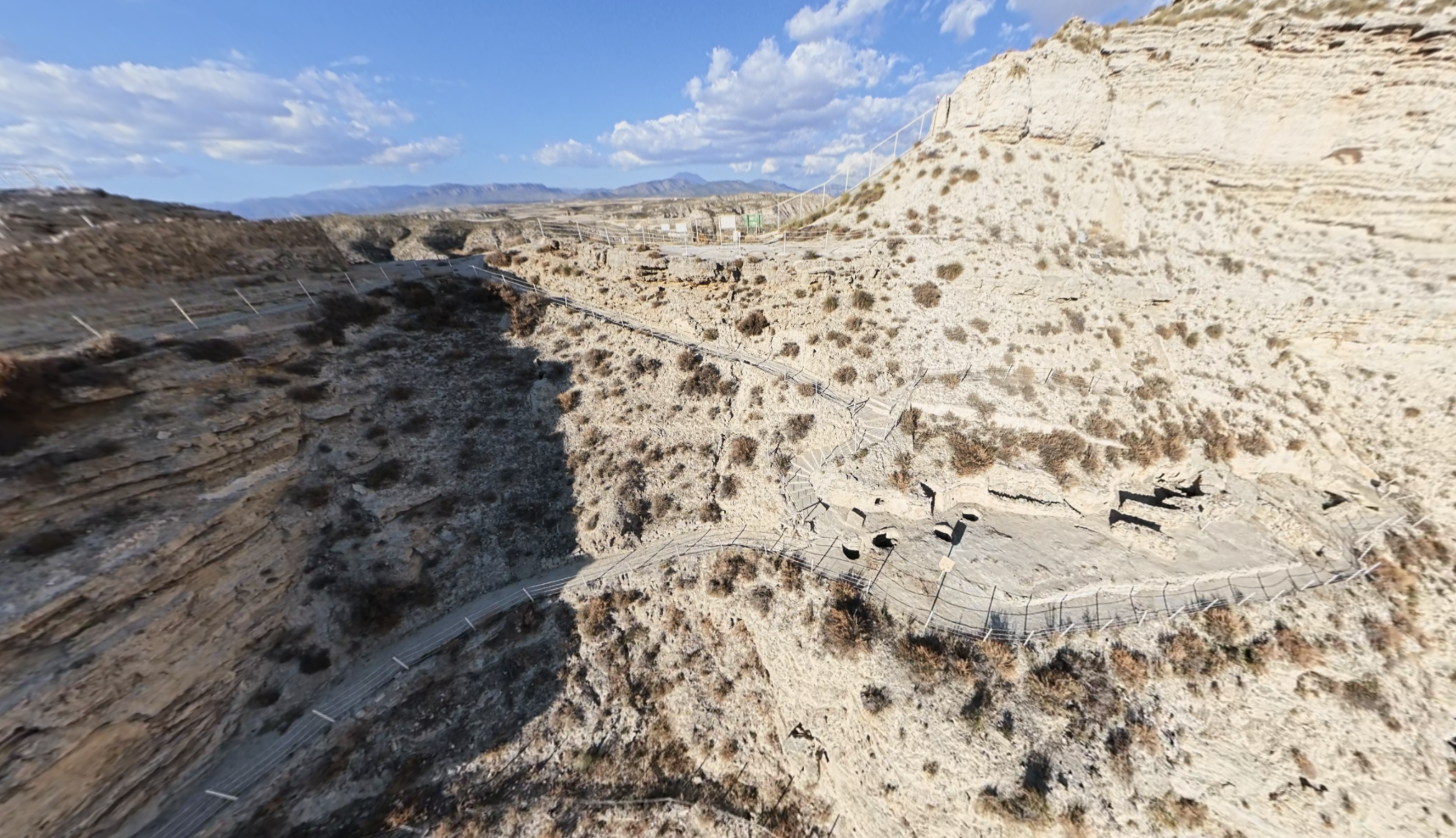
Eastern Slope Centre
The eastern slope was the last major area of the settlement to be occupied.View place → -
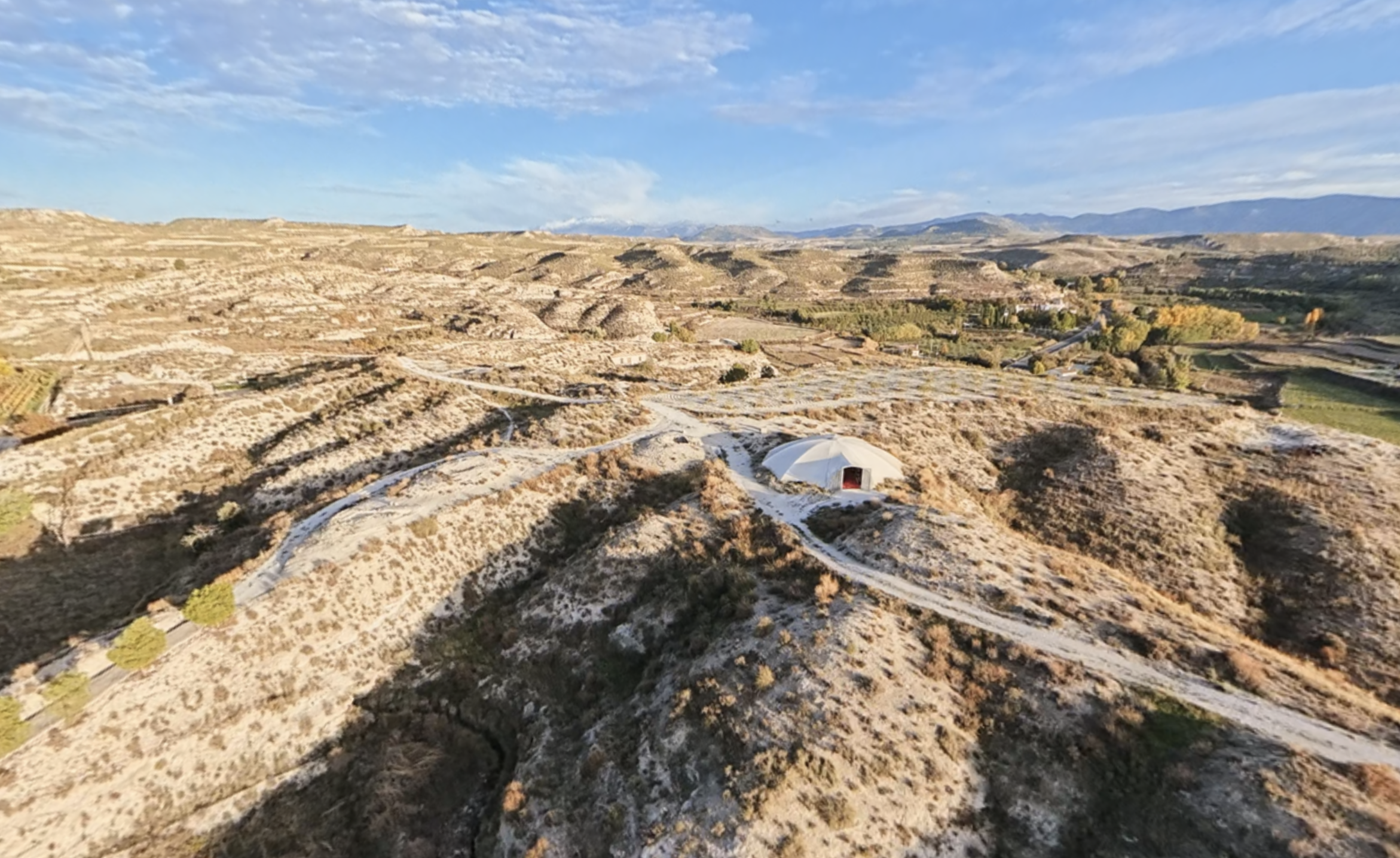
Iberian Necropolis of Tútugi
Before you begin, imagine this landscape when Tútugi was an inhabited city.View place → -
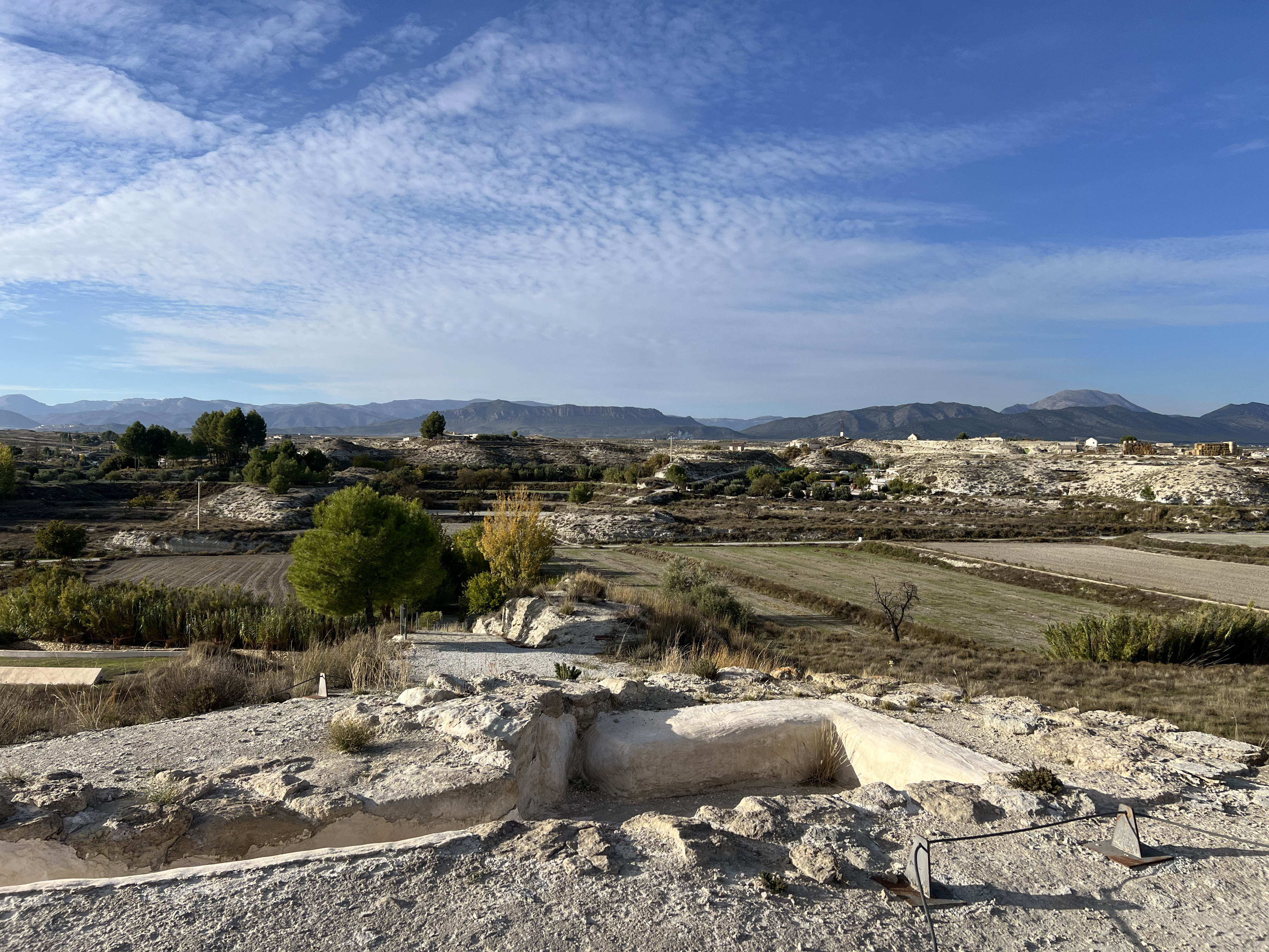
Tomb 22
This tomb occupies the lowest position in a row of four burial mounds, numbered 22 to 25.View place → -
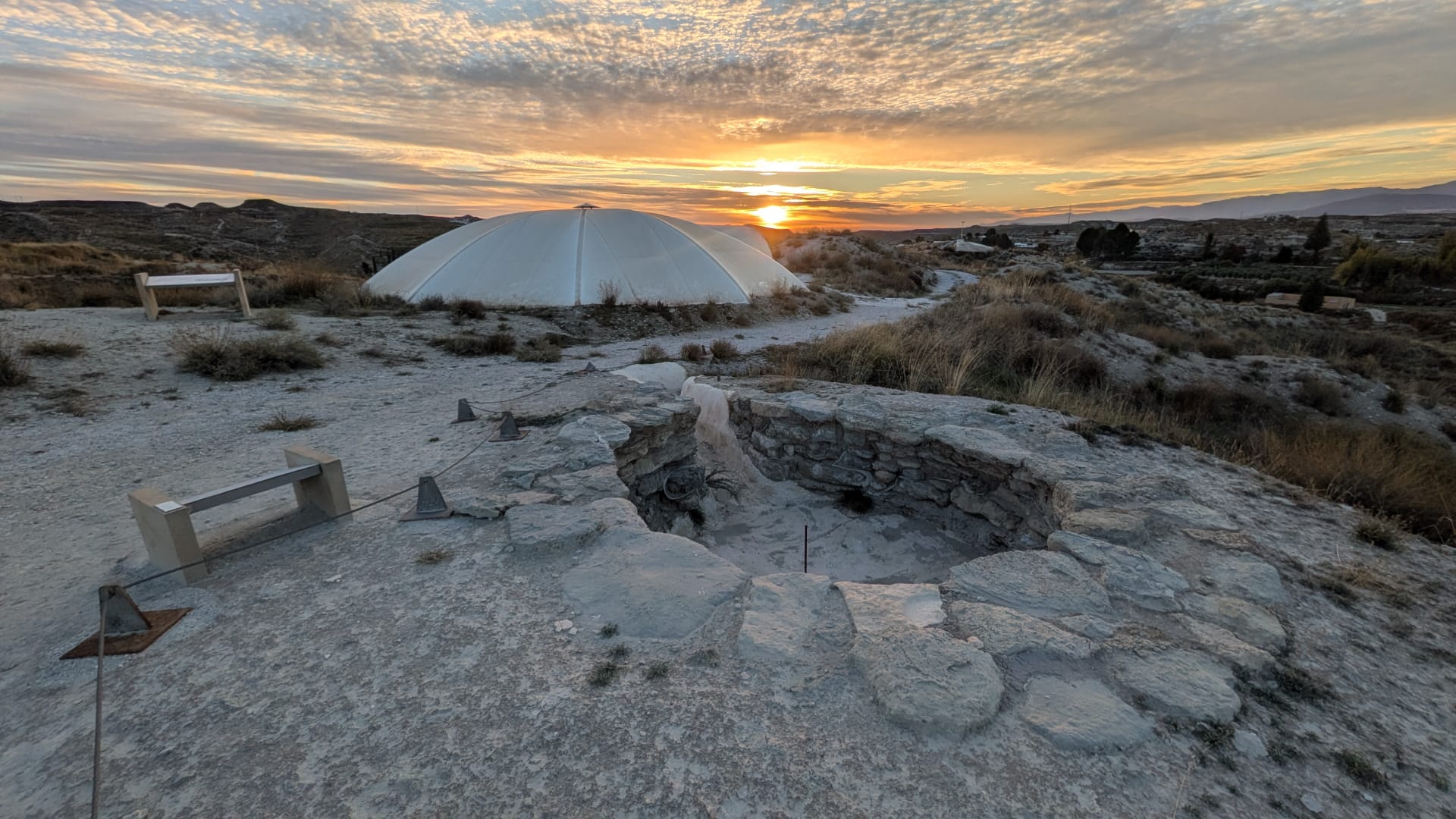
Tomb 21
Tomb 21 stands out for its circular chamber, an uncommon form among the tombs in this area.View place → -
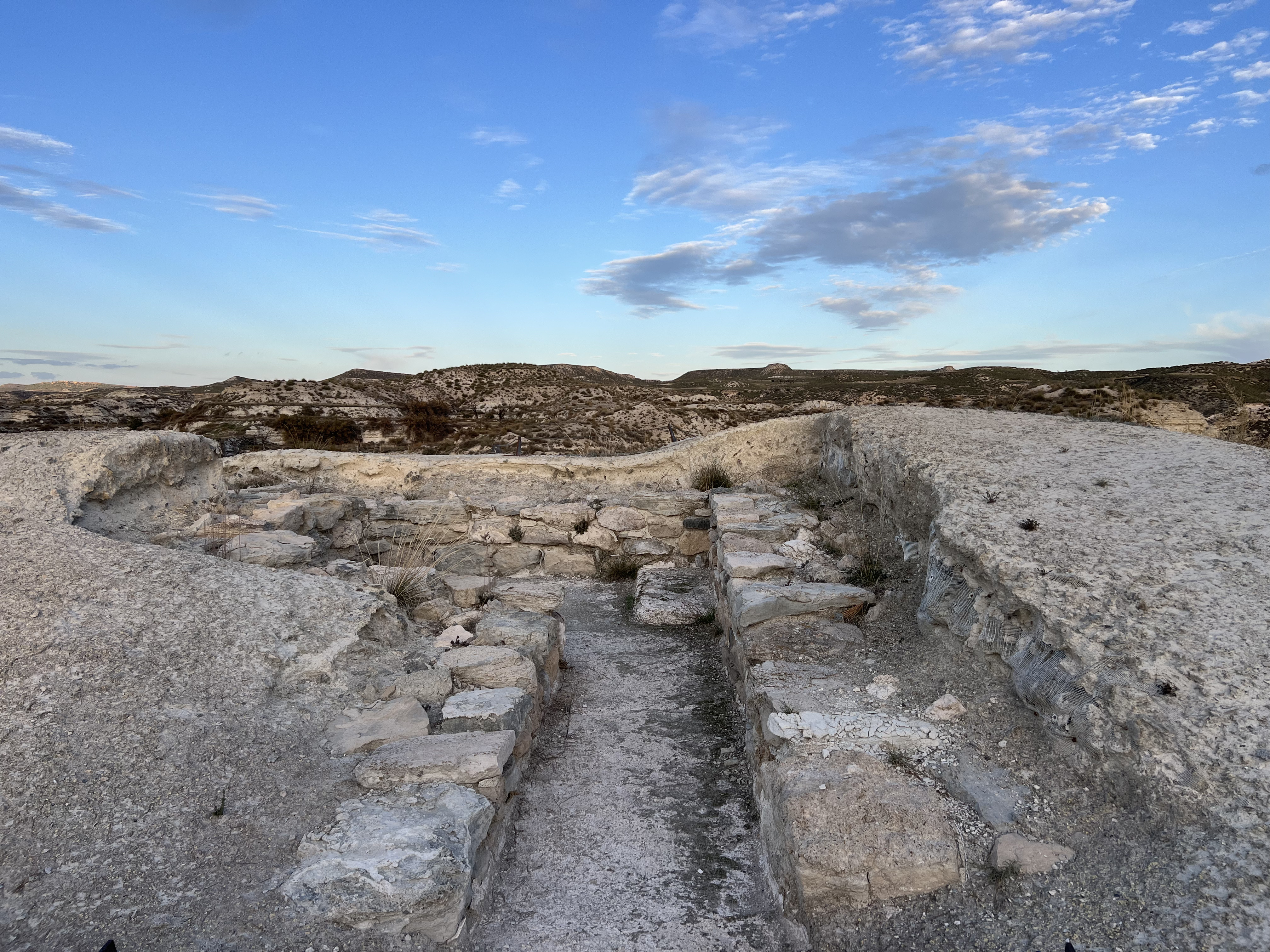
Tomb 50
Pause and observe the tomb's position on a rise overlooking the Orce River valley.View place → -
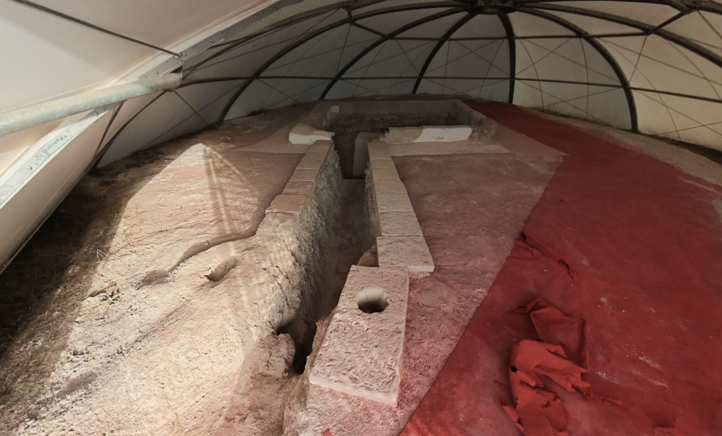
Tomb 20
Tomb 20 shows how a funerary space was transformed into a place used for ceremonies.View place → -
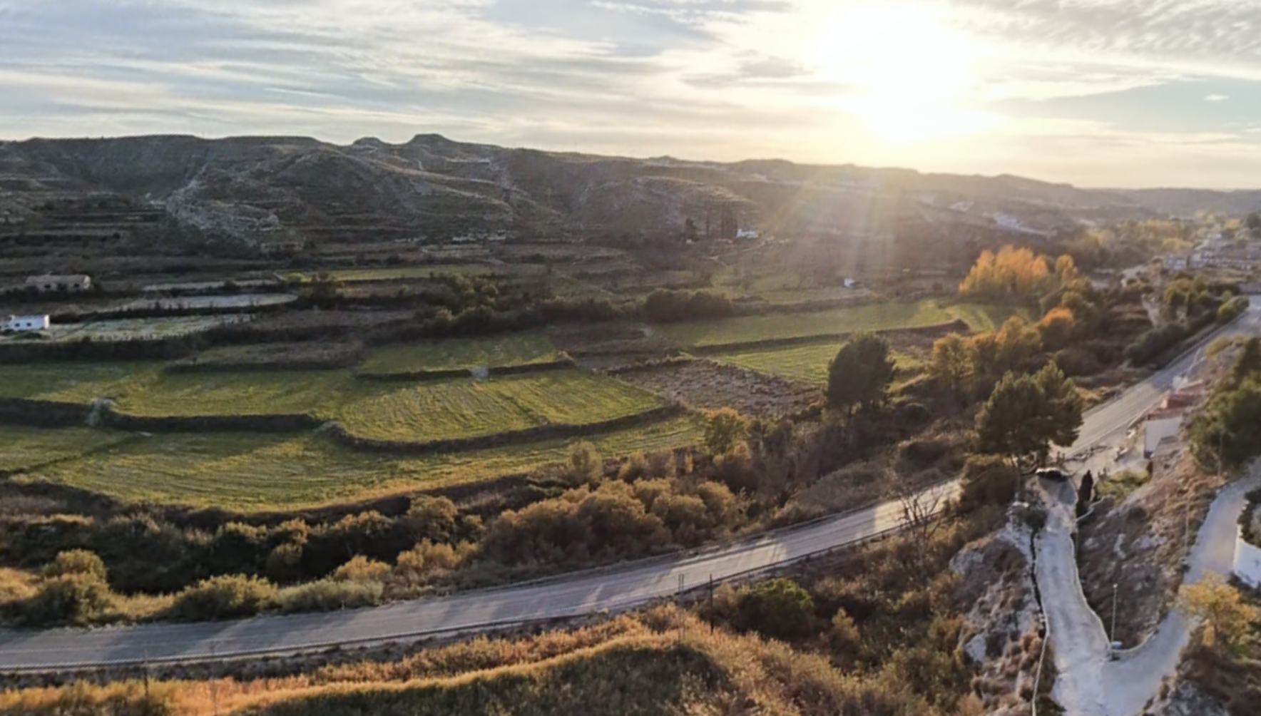
Cerro del Real
Cerro del Real was the site of ancient Tútugi. Its necropolis reveals funerary practices; here, research focuses on where the population lived.View place →
Keep exploring Galera
All themes → Acropolis
From the highest part of Castellón Alto, you can look out over the valley and its cultivated land.
Discover this place →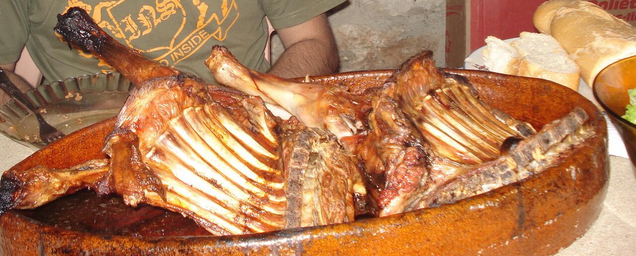
Segureño lamb and other traditional dishes
Winter cuisine brings together foods and work associated with preserving provisions.
Discover this place →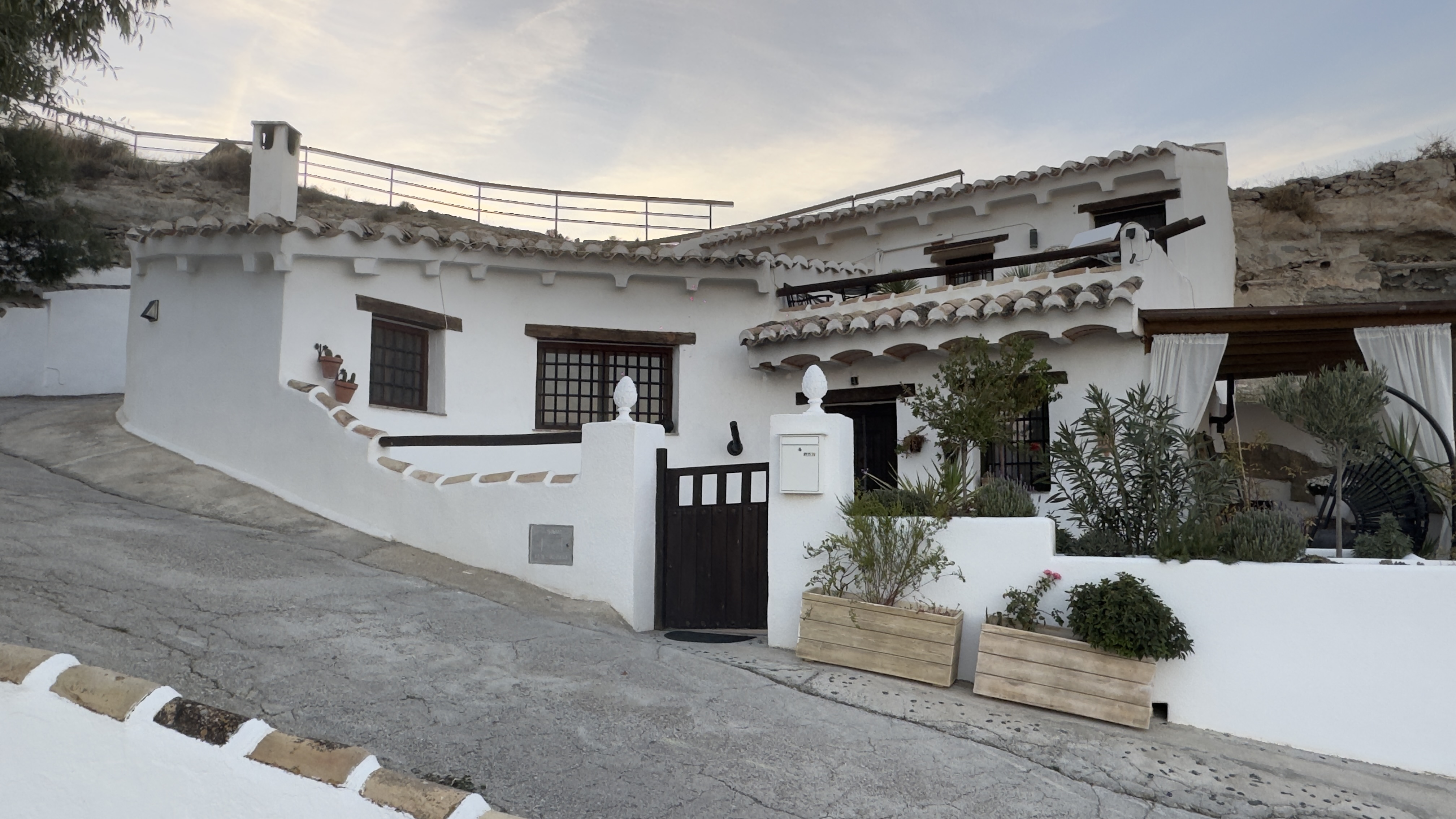
Panoramic Viewpoint and Cave Houses
From this viewpoint, look for the façades and chimneys on the slopes: they reveal homes whose living spaces extend into the ground.
Discover this place →Domingo y Quiles Winery
Domingo y Quiles Winery is part of a family story that began in Galera in the early 20th century.
Discover this place →Jaraíz Winery
The name Jaraíz connects this winery with a word from traditional winemaking.
Discover this place →Bodegas Carayol y Castellar
Bodegas Carayol y Castellar is part of the route devoted to Galera’s wine culture.
Discover this place →