

GALERA · Routes
Geological Route
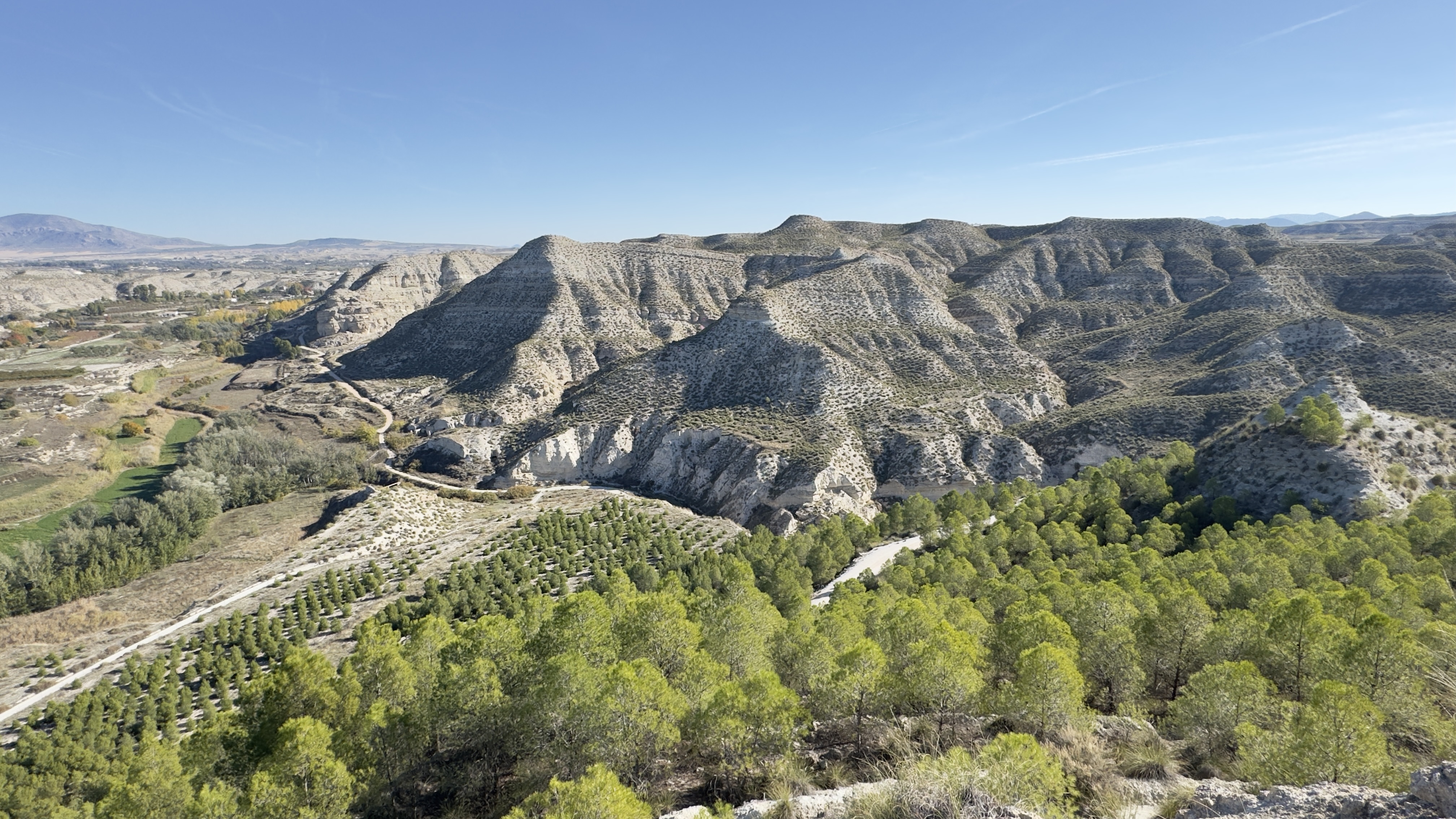
We will begin beside the Castellón Alto visitor centre and observe how the layers of the hill shaped the construction of the settlement and later made it possible to extract gypsum. From the Mirador de Juan, the valley will help us understand the transformation of an ancient lake landscape. An augmented-reality experience will recreate the lake and allow us to compare it with today’s ravines, slopes and fertile plain.
The seismites preserve another part of that history: deformations caused by earthquakes when the sediments were still soaked with water at the bottom of the lake. The gypsum kiln, in turn, introduces the human use of materials from the surrounding area. Along the route, look for the connections between things that may seem separate: rocks, water, crops and buildings.
The landscape you see is the result of very long processes and successive ways of inhabiting it.
Useful information
- Distance
- To be defined
- Duration
- To be defined
- Difficulty
- To be defined
Route map
Route stops
-
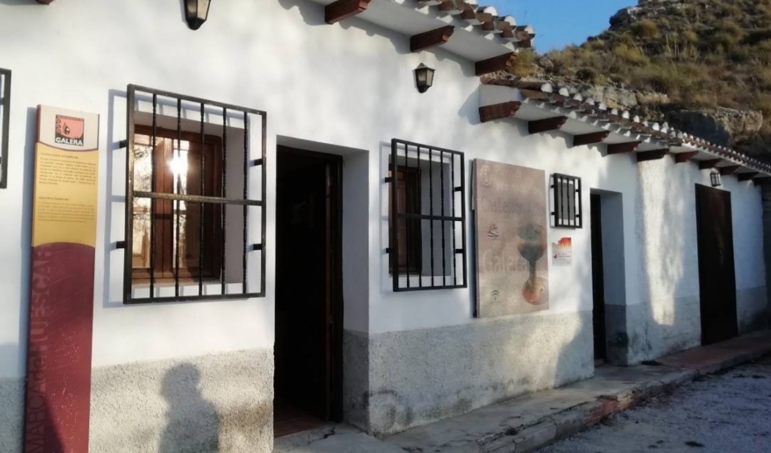
Visitor Centre: the start of the route
Castellón Alto’s visitor centre is the starting point for linking the history of the settlement with that of the landscape.View place → -
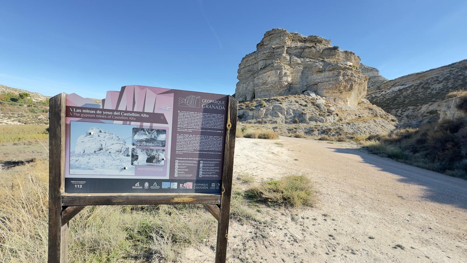
Geology supports the settlement — Mines beneath the Castellón Alto site
The hill of Castellón Alto tells a story that predates the settlement on its summit.View place → -
The River That Carved the Valley — Mirador del Valle del Río Galera – Mirador de Juan Badlands
Look across the valley and try to imagine the landscape without these ravines.View place → -
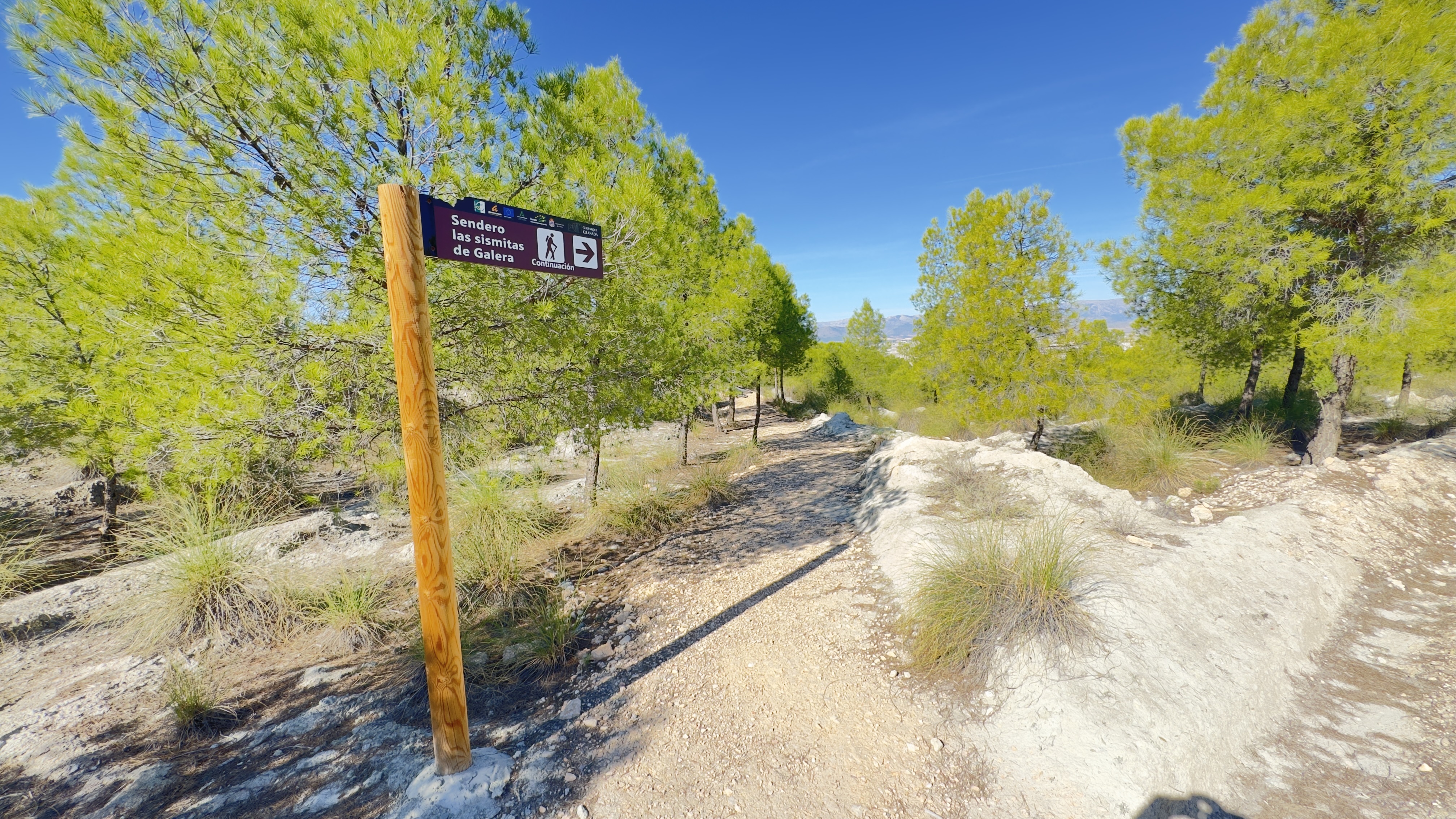
Earthquakes Preserved in the Landscape — Galera Seismites
These curved, folded forms are traces of ancient earthquakes. To understand them, we must go back to the lake that occupied the basin more than a million years ago.View place → -
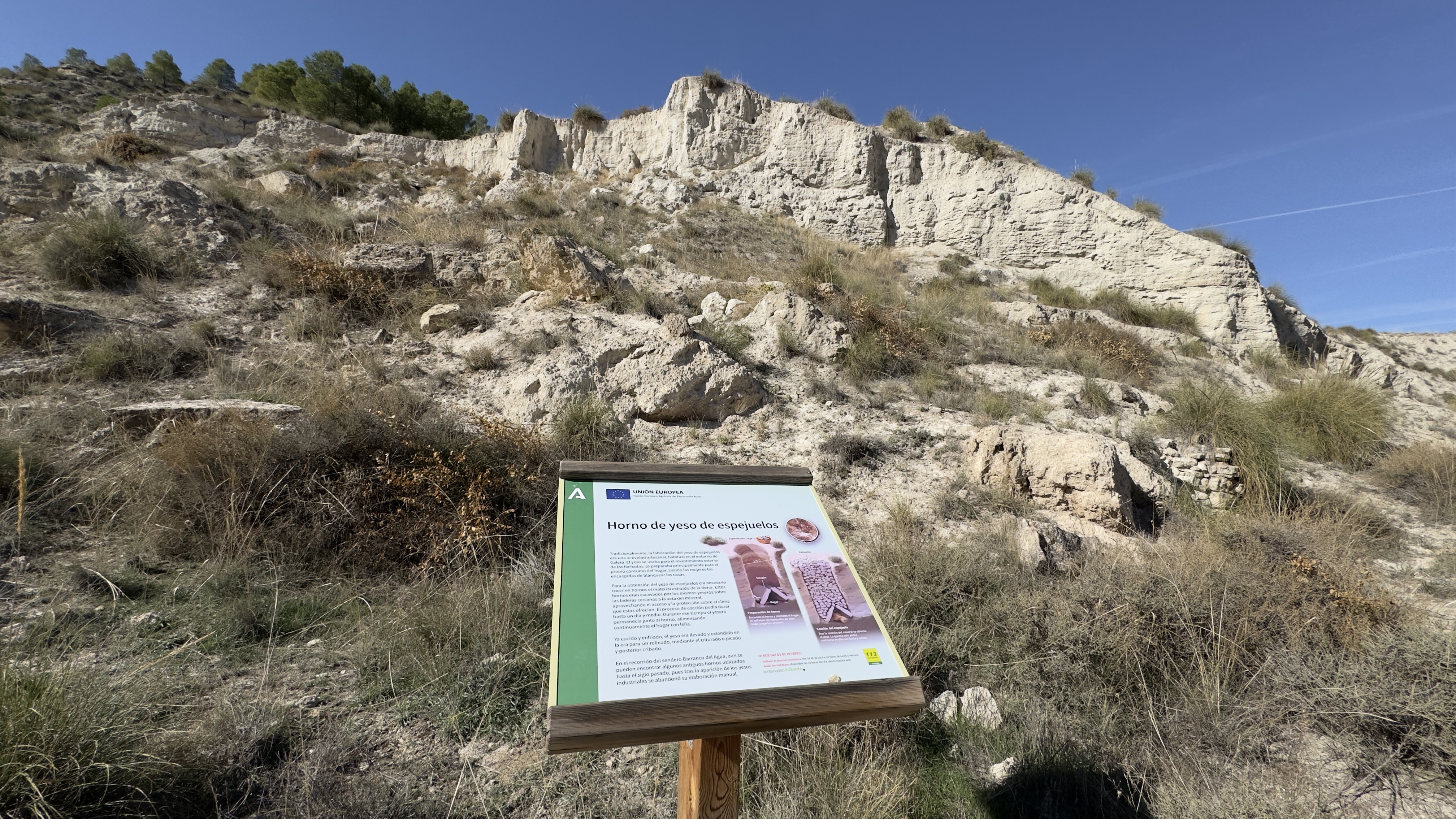
Gypsum Kiln of Espejuelos
This kiln preserves the memory of work that transformed stone from the surrounding landscape into plaster for construction.View place →
Keep exploring Galera
All themes →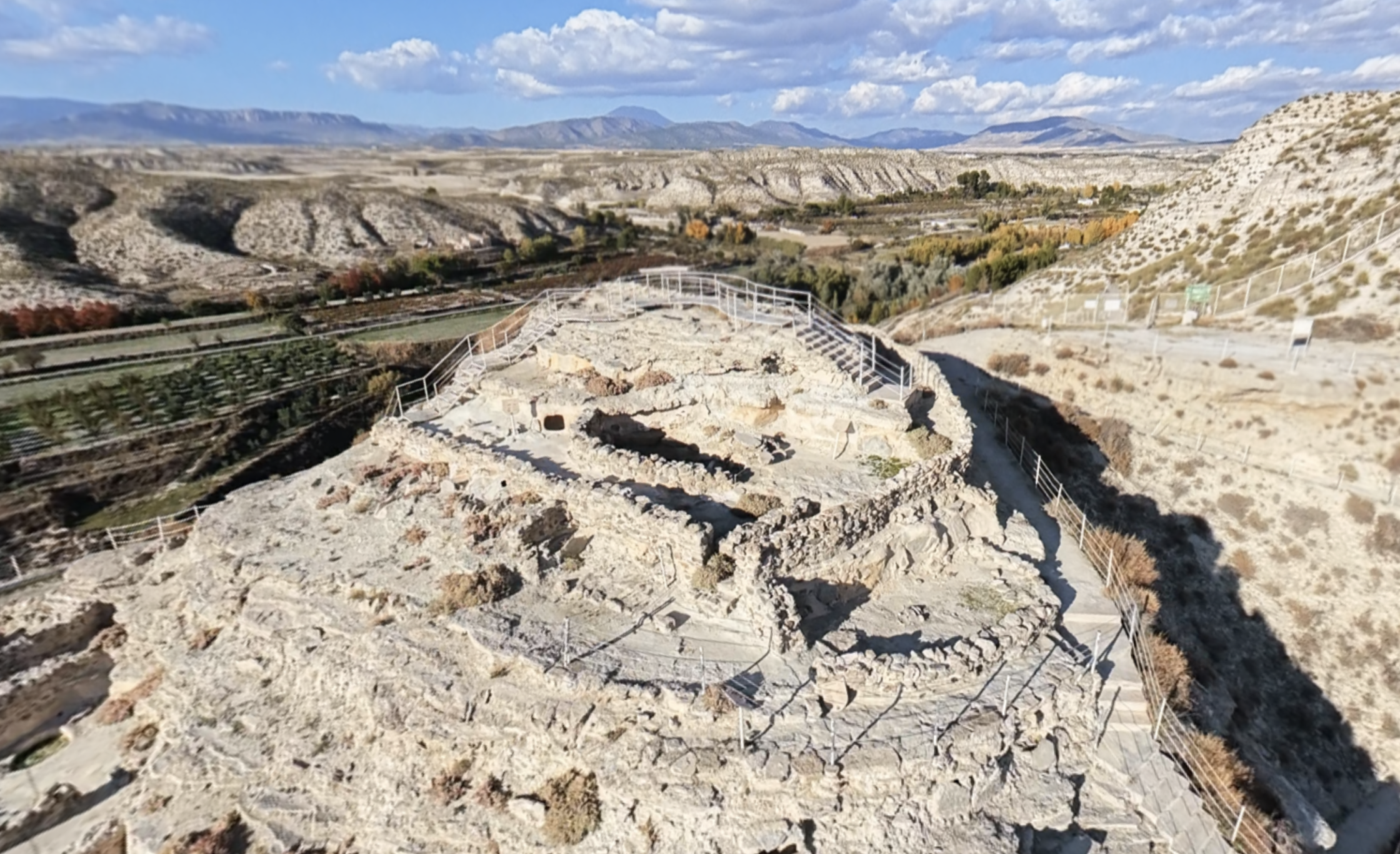
Acropolis
From the highest part of Castellón Alto, you can look out over the valley and its cultivated land.
Discover this place →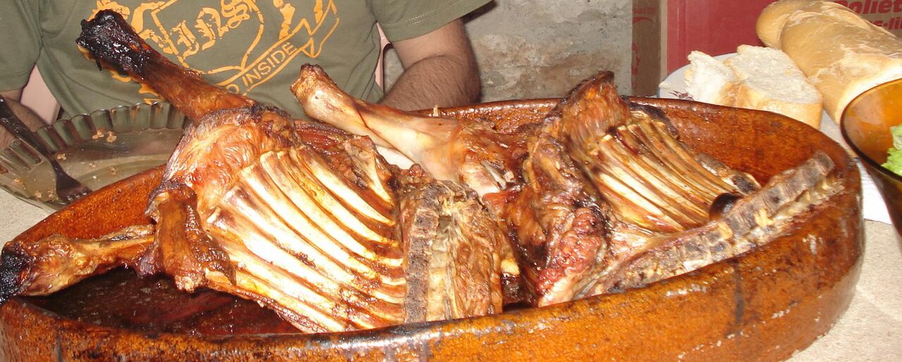
Segureño lamb and other traditional dishes
Winter cuisine brings together foods and work associated with preserving provisions.
Discover this place →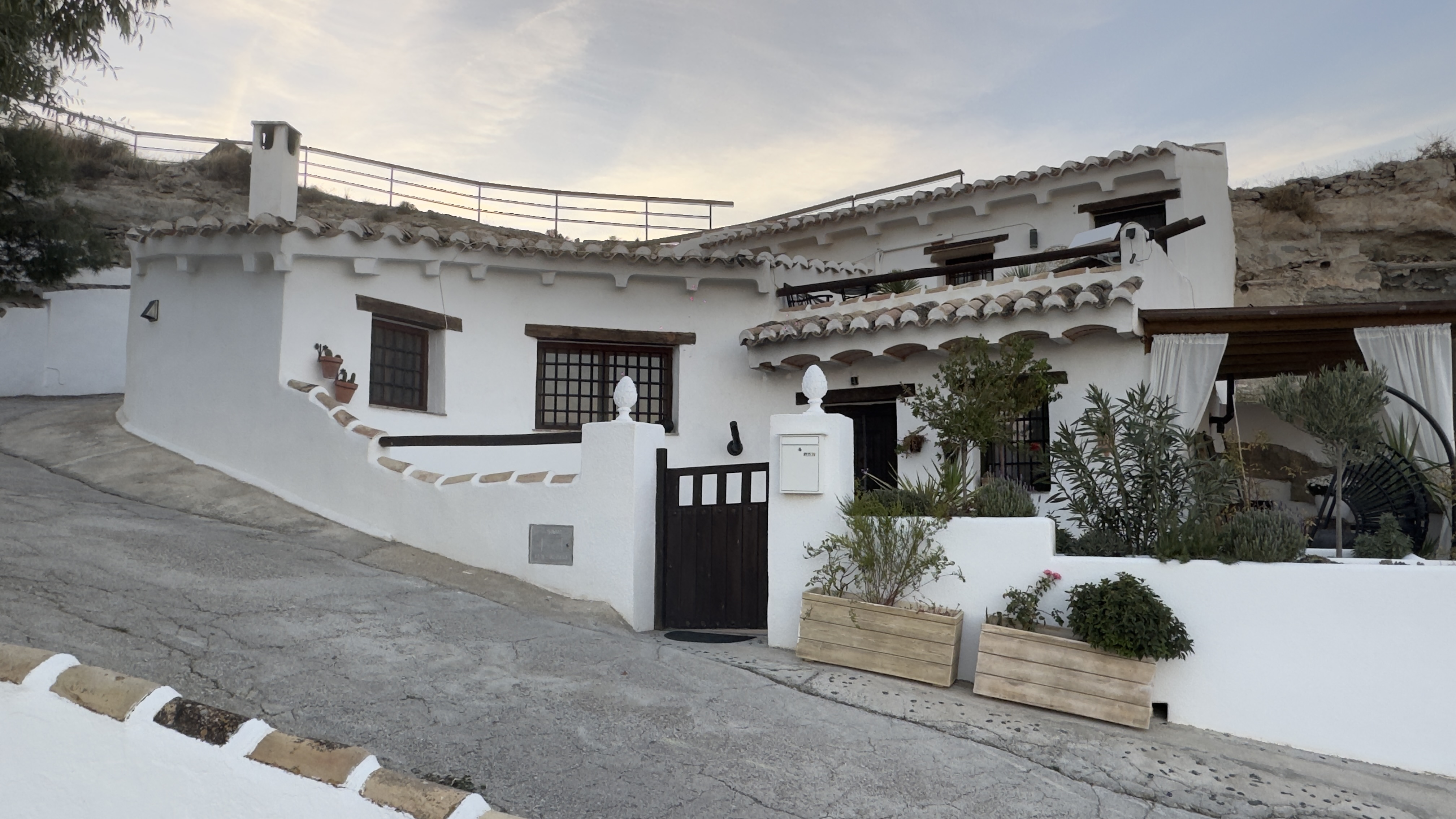
Panoramic Viewpoint and Cave Houses
From this viewpoint, look for the façades and chimneys on the slopes: they reveal homes whose living spaces extend into the ground.
Discover this place →Domingo y Quiles Winery
Domingo y Quiles Winery is part of a family story that began in Galera in the early 20th century.
Discover this place →Jaraíz Winery
The name Jaraíz connects this winery with a word from traditional winemaking.
Discover this place →Bodegas Carayol y Castellar
Bodegas Carayol y Castellar is part of the route devoted to Galera’s wine culture.
Discover this place →